Lake Eyre trip 2001
Tour Maps
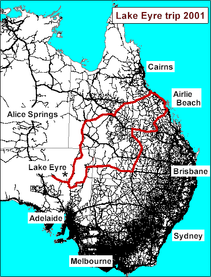
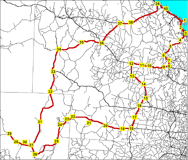
The first map shows roads in the eastern two-thirds of Australia, with our route in red. We drove clockwise around the route. The second map is more detailed.
A description of the trip is in four parts in our newsletter, starting here.

|
Legend to second map (below)
|
|

These maps were created from the Auslig "Australia Unfolded" CD, a great resource which also has layers for rivers, railways, airstrips, locations, and many other features. You can also add your own annotations and titles, but I used a graphics program to add the location names and the map's title. For more about Auslig, see their website, http://www.auslig.gov.au.
