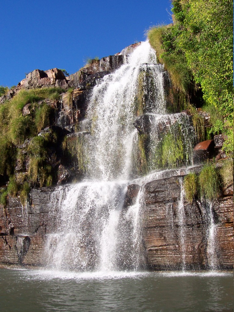
8 July 2006. Overnight we travelled to St George Basin. After an early breakfast, we boarded the Explorer for a run up the mangrove-lined Prince Regent River to King Cascade, a spot that must be really spectacular in the wet season. The photo shows only a portion of the cascade, which is festooned with ferns and other plants. Some people ventured out in the Zodiaks to go under the falls. Getting thoroughly wet is not a problem in the warm tropical air.
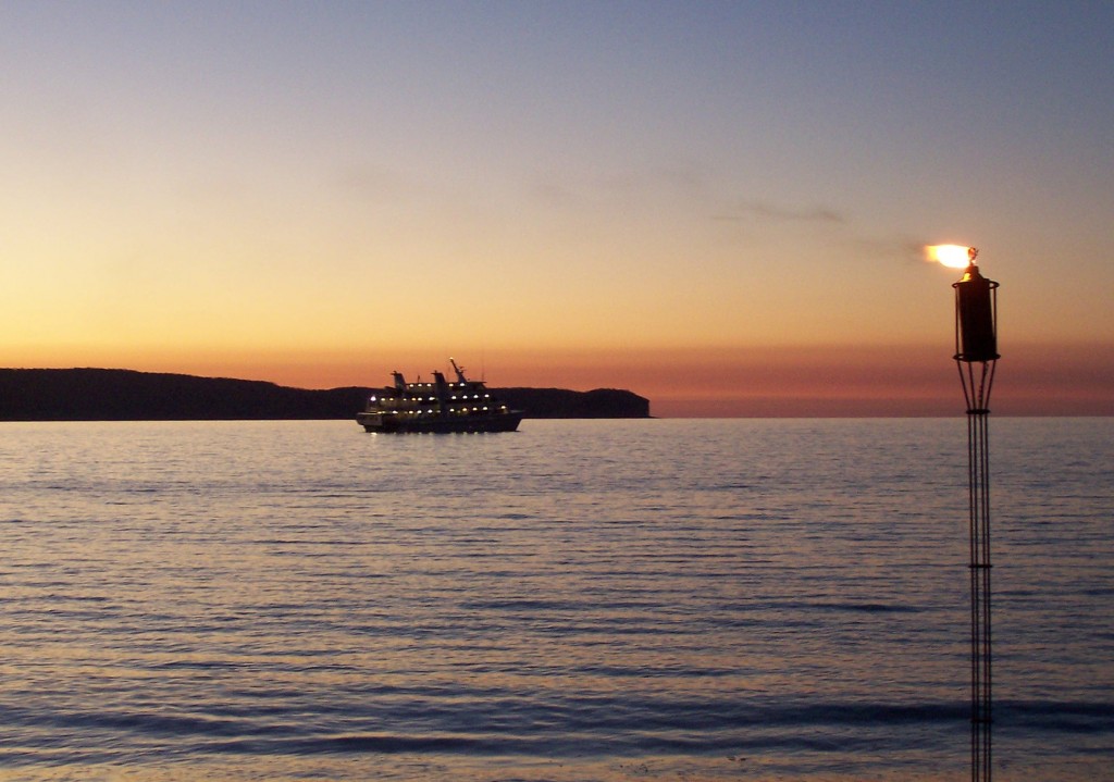
Sunset on Port George IV, Kimberley Coast
7 July 2006. After a full day of exploring, we were taken to a lovely beach on Port George IV, where a barbecue was set up and we dined on grilled crocodile, kangaroo, and local fish, as well as the more mundane beef and chicken, plus an array of fresh salads. The photo shows the Coral Princess awaiting us offshore with its lights on.
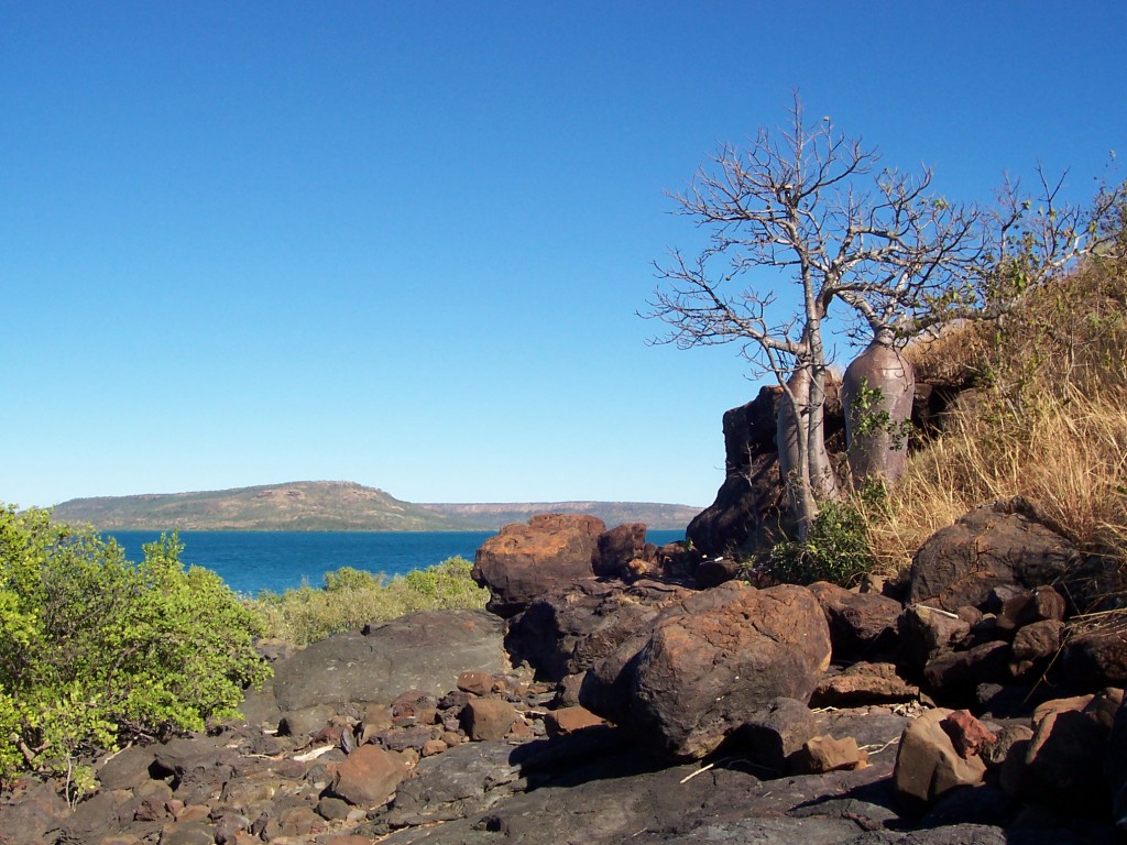
Sheep Island, Kimberley Coast
7 July 2006. Sheep Island was once used by European settlers as a place for keeping sheep. The 19th-century attempts by Europeans to settle in the area are tragic stories of misplaced optimism (fueled by, in many cases, outright lies by promoters).
This photo shows some of the Kimberley’s famous boab trees. Not all of the island is this rocky.
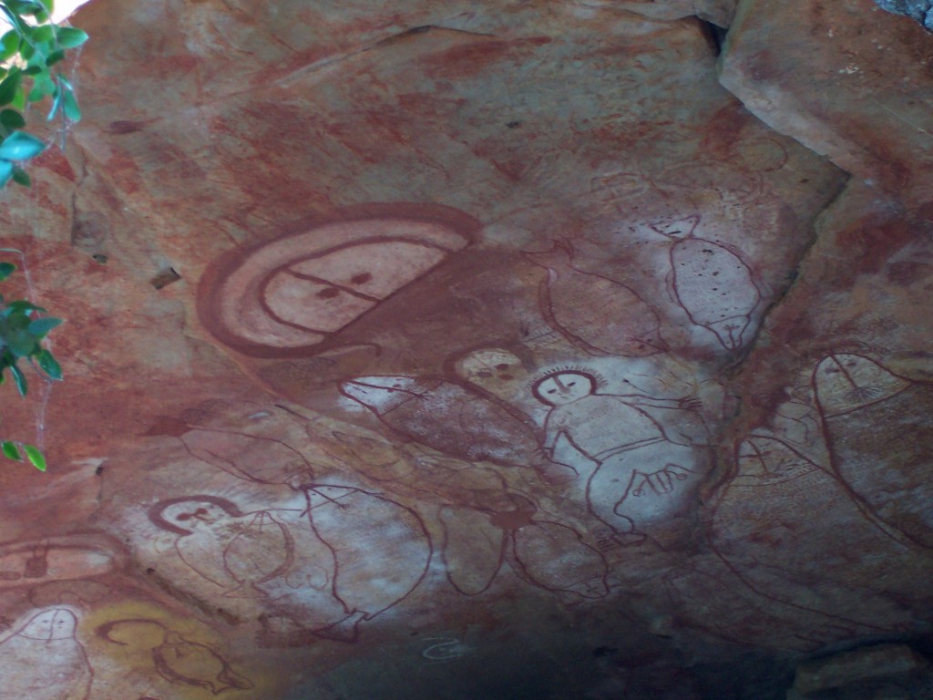
Wandjini paintings, Raft Point, Kimberley coast
6 July 2006. At Raft Point, we climbed a steep slope to arrive at some rock overhangs where we could clearly see paintings of the Wandjini. Those who saw the opening ceremony of the Sydney Olympics would have seen a depiction of one of the Wandjini, named Namarali, along with tall, slender, tasselled Gwion-Gwion figures. The creator of the Sydney Olympics’ Namarali is the custodial heir to this area.
Near Raft Point, Kimberley coast
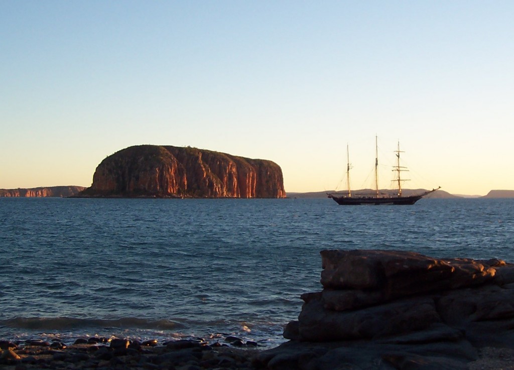
6 July 2006. After anchoring overnight near Raft Point, we rose early to discover the Leeuwin II, a 55-metre, 3-masted “tall ship”, nearby once again. We’d seen this ship once or twice earlier in the trip, and spotted it several more times before we reached Darwin; it had left Broome the day before us, and was scheduled to arrive in Darwin the same day as us. A sailing vessel, replica of a craft from another century (though sporting engines as well as sails), seemed very fitting in these waters — rather more fitting than our own vessel, in fact.
Mitchell Falls, Kimberley, Western Australia
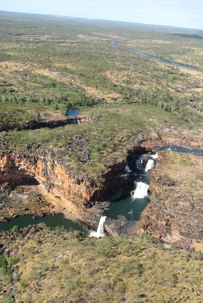
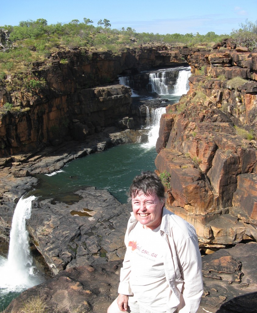
12 July 2011. Mitchell Falls is one of the must-see features of the Kimberley region of Western Australia. The top photo is a view from the helicopter that took Jean to the top of the falls (and, later, back down again). The lower photo is taken from one of the many viewing areas along the top. There are no guard rails in this remote country!
Signs for Strzelecki Track, South Australia
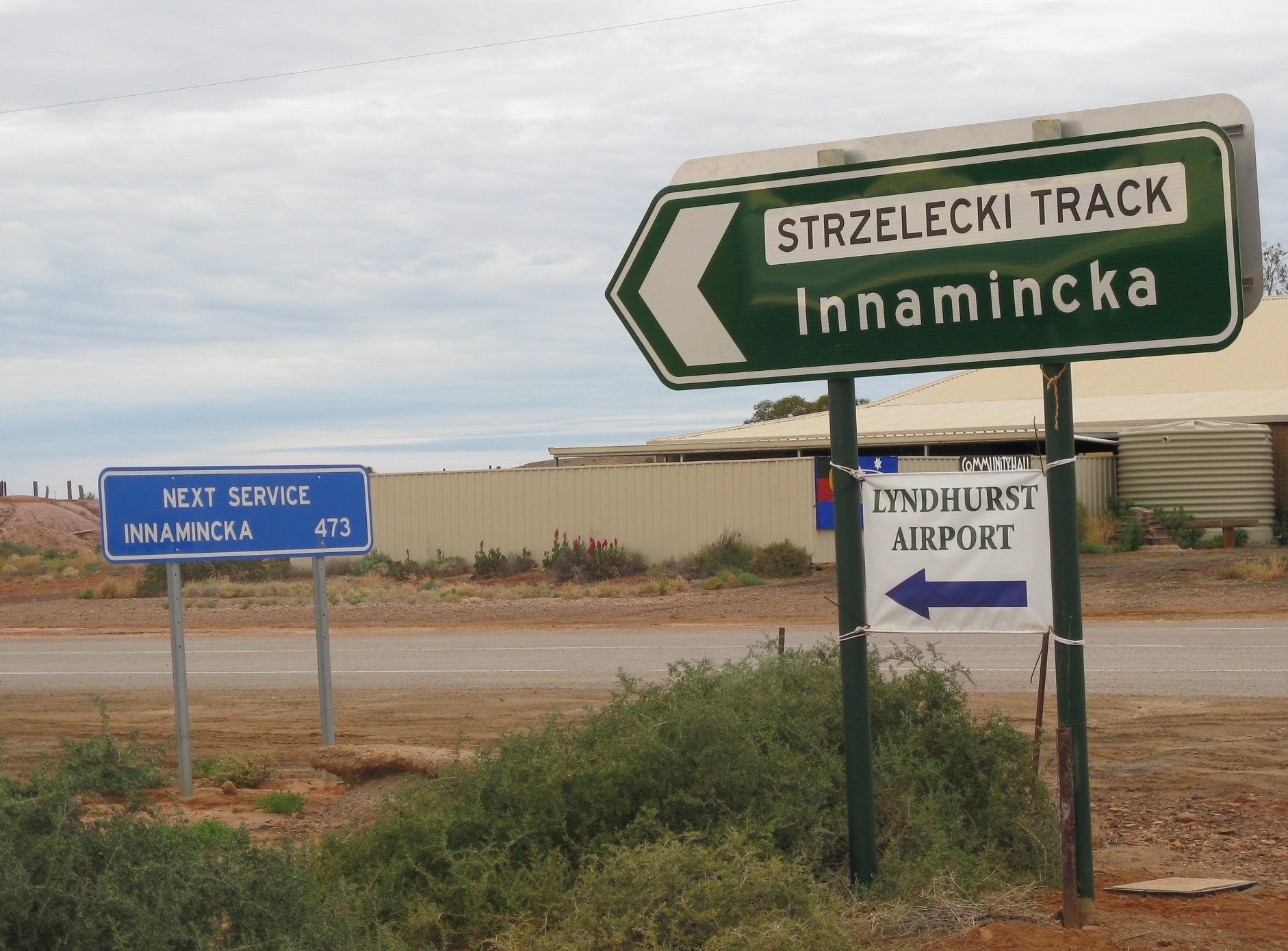
Leaving Lyndhurst, South Australia, heading for Innamincka along the Strzelecki Track, you get a reminder of the distances between places to buy fuel for your vehicle in some parts of the country. (Distances are in kilometres, of course.) This stretch is by no means the longest fuel-less drive one can take in Australia.

