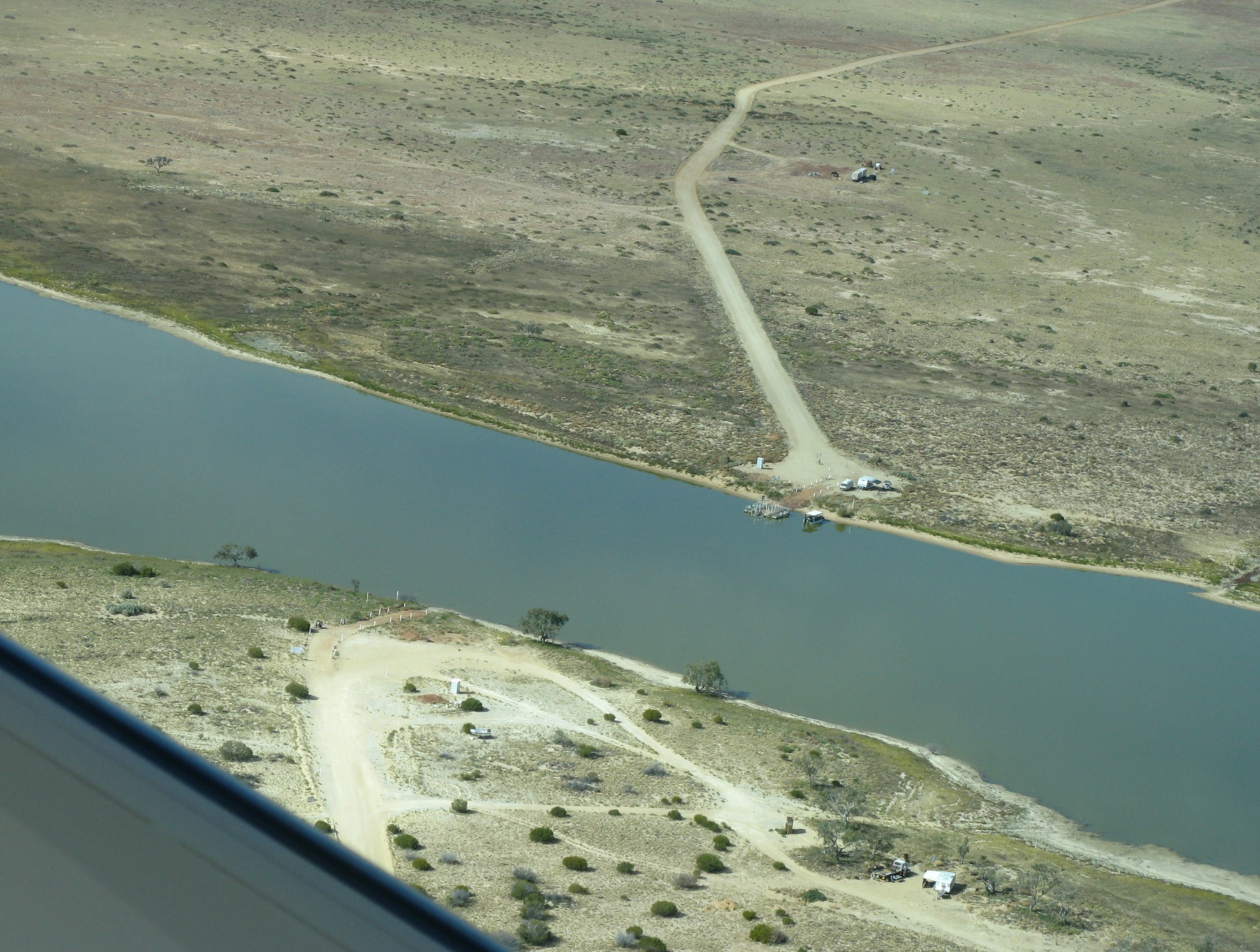
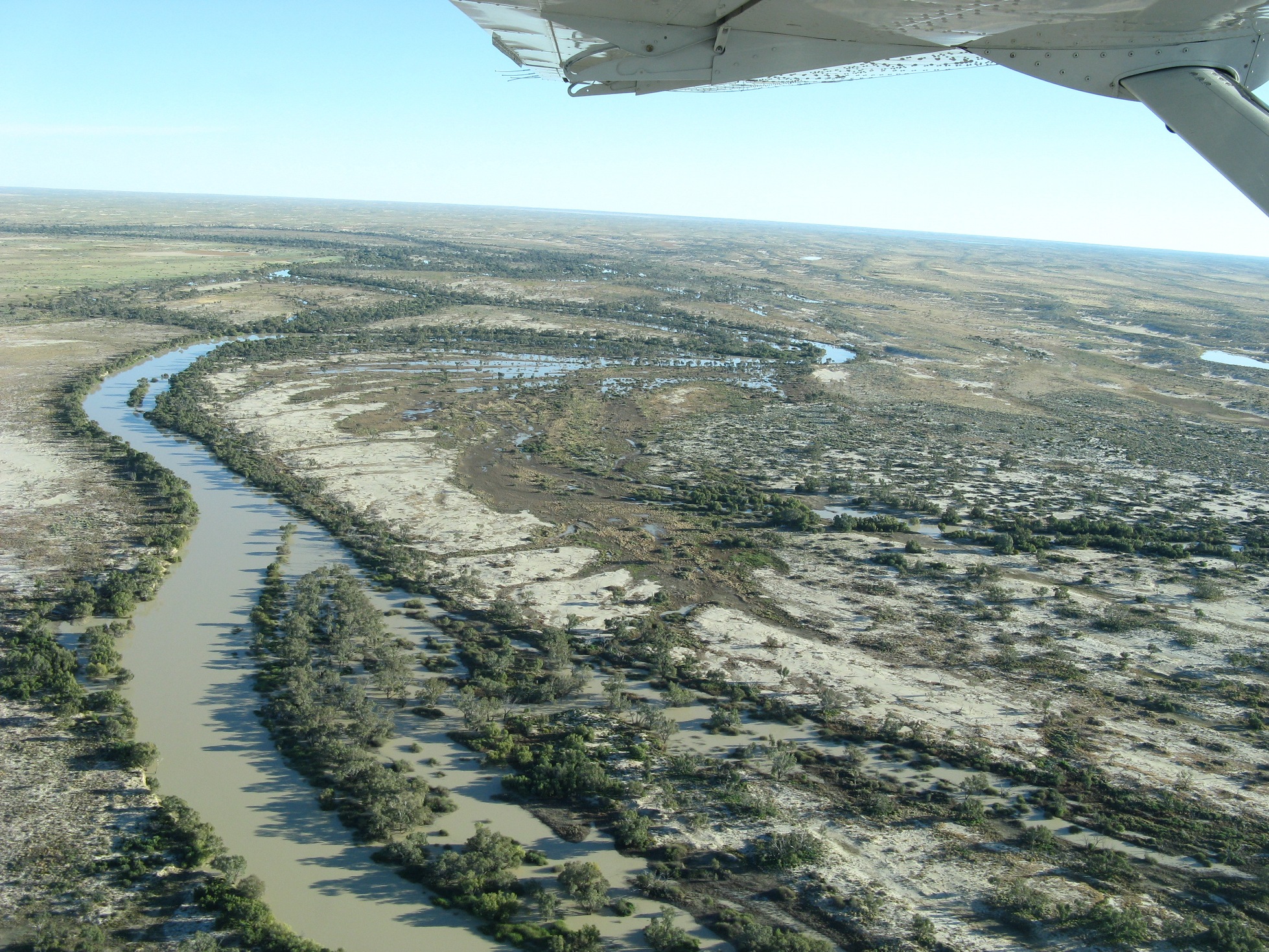
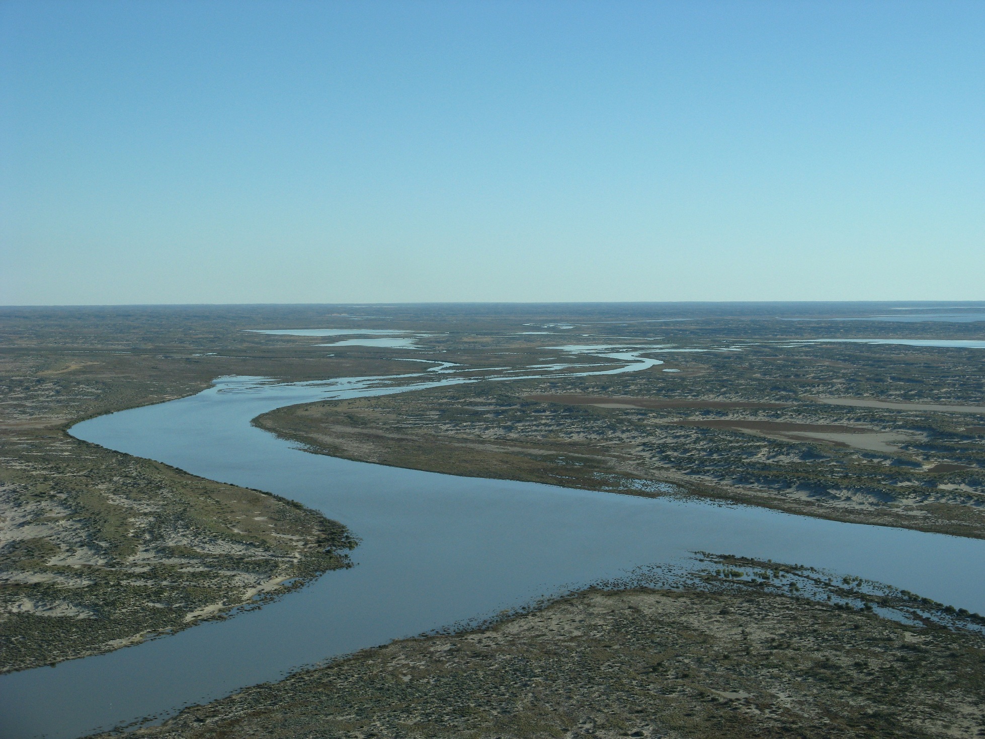
The Cooper Creek runs a bit to the east of Lake Eyre and also carries water from Queensland. Usually it’s dry, but after a few wet seasons in a row, it will actually have water in it. This year it had so much water, the one road in the area (the famous Birdsville Track) was cut for months. A punt ferry was set up to take cars across the river.
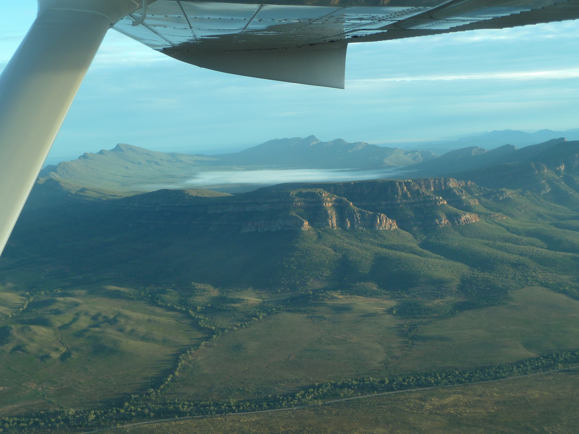
Lake Eyre, South Australia
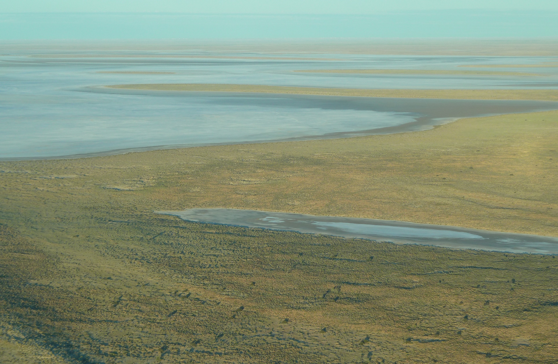
4 June 2011. Lake Eyre is normally a dry salt pan, but some years it (partially) fills with water drained from a huge catchment area in Queensland. We were privileged in 2001 to see the lake with water in it, again made a special effort to return in 2011 when the lake filled again. By the time we got there in early June, so much water had evaporated that the lake was quite shrunken from its maximum size, but still impressive.
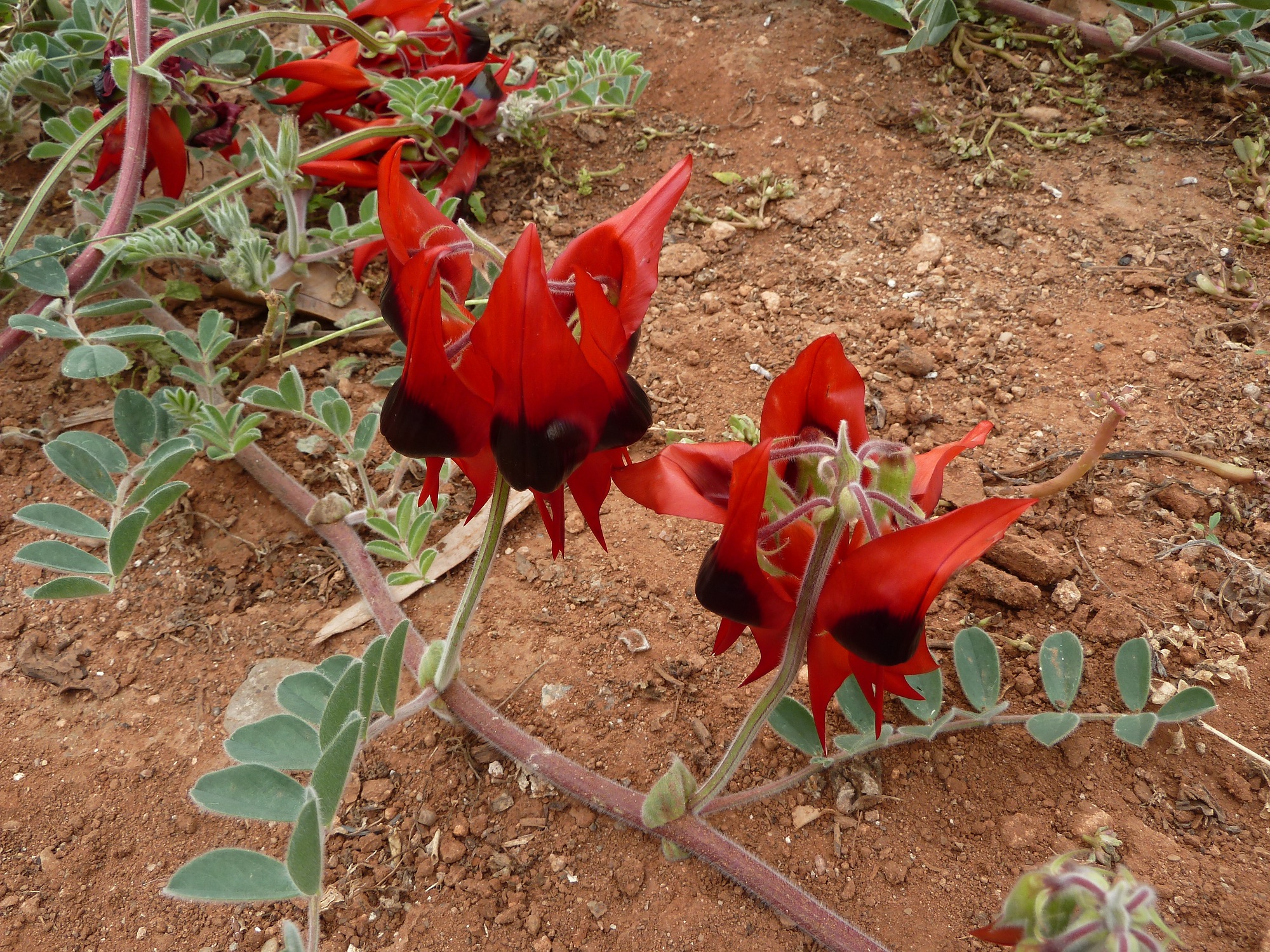
Sturt’s Desert Pea
Photo taken in Flinders Ranges, South Australia, 6 June 2011. Swainsona formosa, http://en.wikipedia.org/wiki/Sturt%27s_desert_pea.
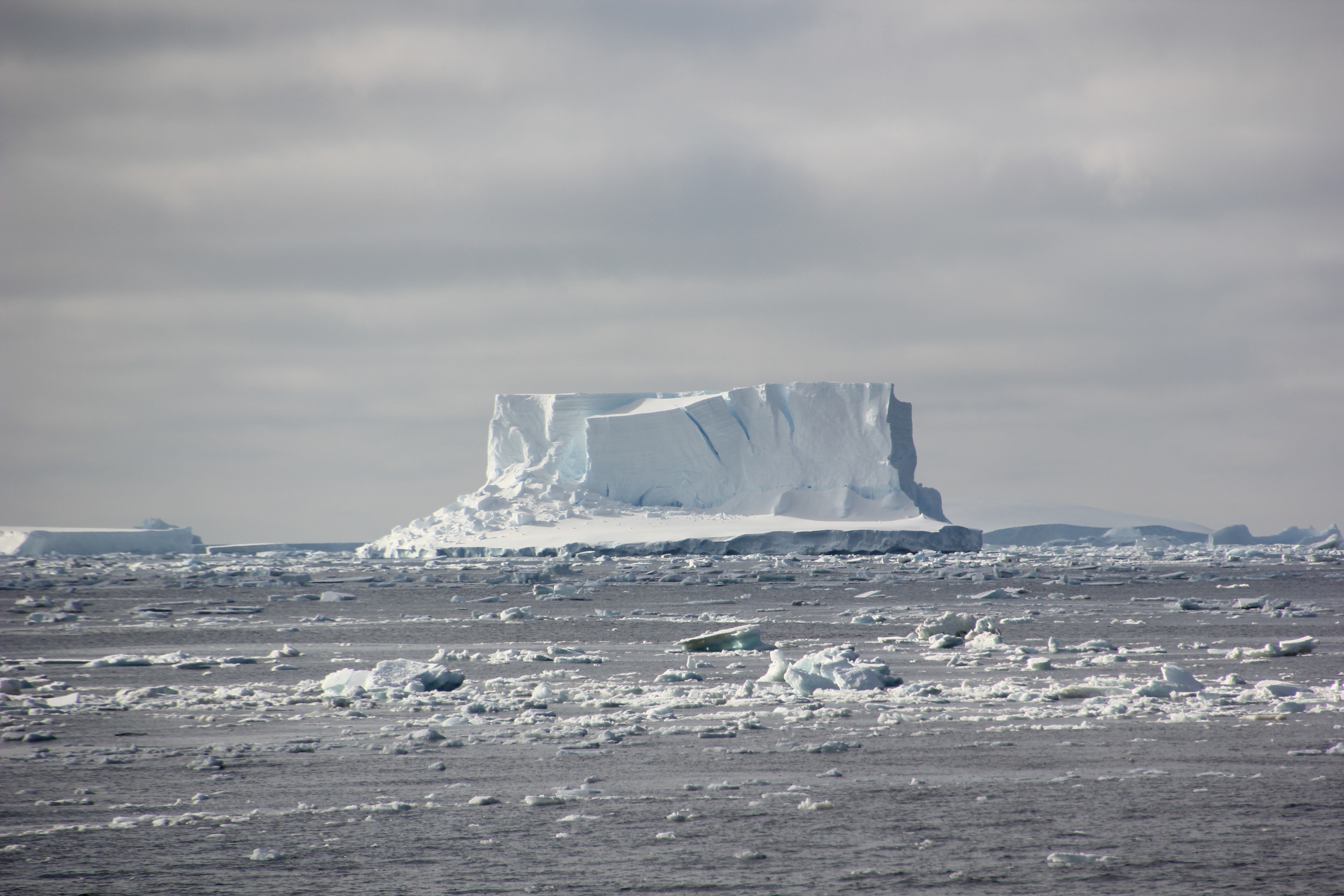
Icebergs up close
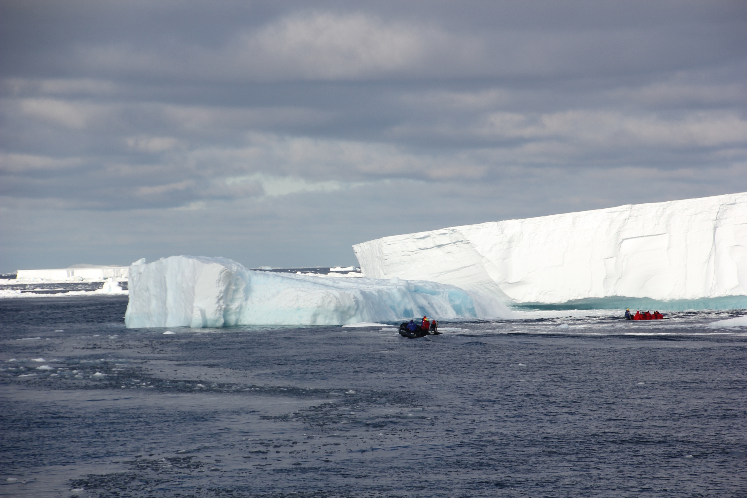
Cruising among the icebergs in Zodiaks, 2 February 2012, 08:05. Heading north from our visit to Ross Island, we had a calm enough sea for the Zodiaks to be launched for an up-close encounter with a large field of icebergs. You can get an idea of scale from this photo.
Scott’s Hut
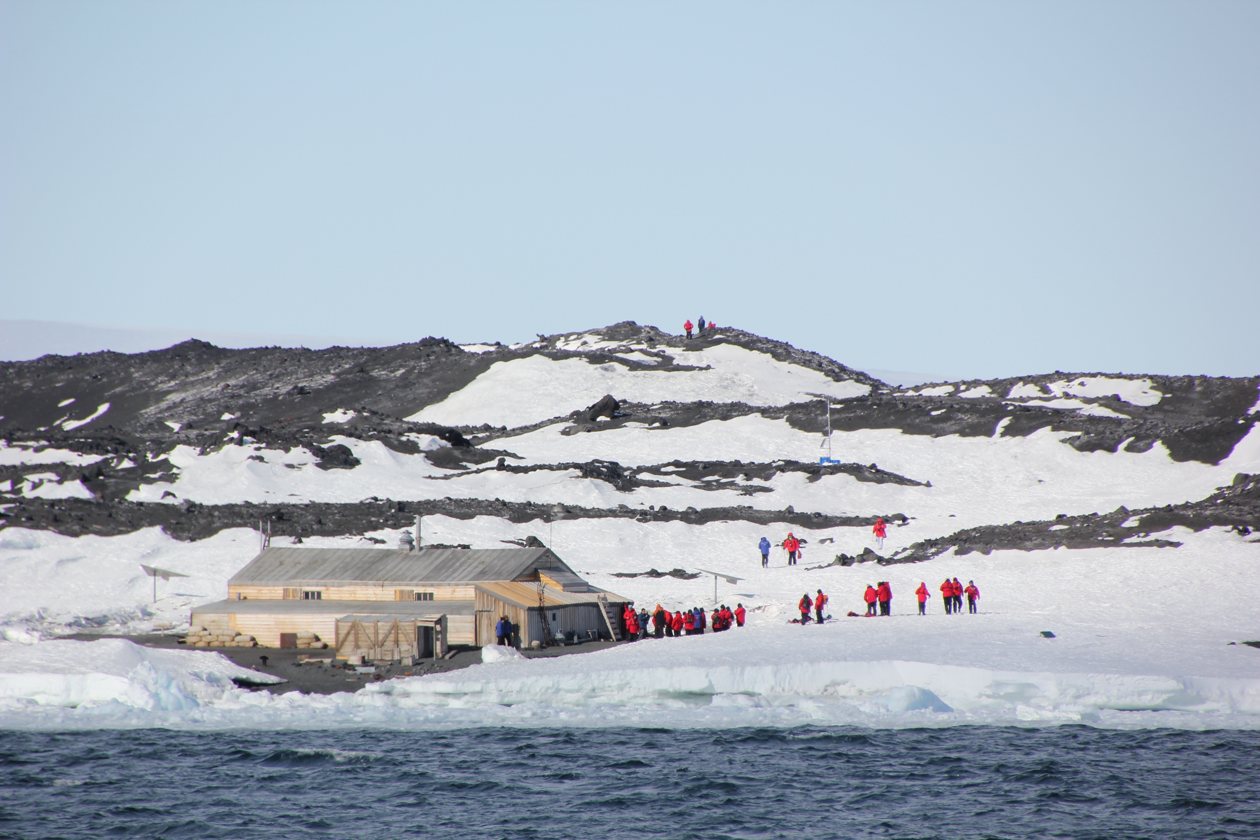
Scott’s Hut, Ross Island, 30 January 2012, 15:24. When we arrived offshore, a group of conservators were just leaving after spending two weeks on final restoration and conservation work on this historic hut. Ice conditions prevented landing Zodiaks near the hut, but a landing was possible on the other side of this point of land. The people on the hillside are hiking in from the landing spot. I chose not to make the landing and the walk; instead I stayed on board and enjoyed the view of the sea, the ice, the mountain, the hut, and my more energetic and fit fellow passengers. Mount Erebus is just to the left out of the picture.

