
(Click on photographs to see a larger version. Note: Some file sizes are quite large; not recommended for people using a dial-up connection.)
Wednesday 10 August 2005 – Birdsville to Alice Springs
Locations. Birdsville (S25 53.8 E 139 20.9) -> Dalhousie Springs (S26 26.10 E135 31.0) -> Mt Dare (S26 03.70 E135 14.8) -> Ayres Rock (scenic) (S25 11.2 E130 58.5) -> Yalara -> Alice Springs (S23 48.4 E133 54.1)
After breakfast, we loaded the luggage into the plane and flew west over the Simpson Desert.
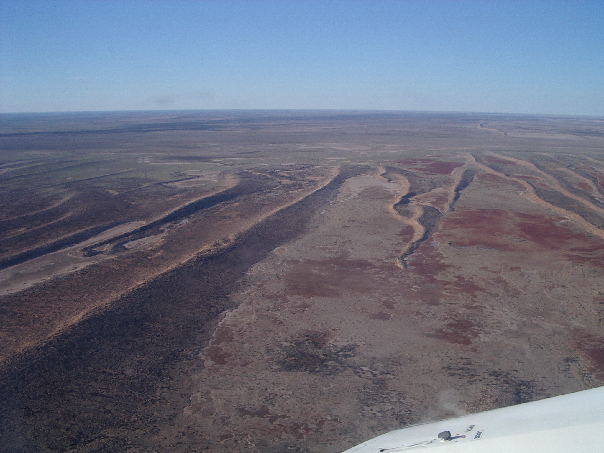 The desert scenery was facinating, with great views of shadows of the elaborate dune system in the early morning sun.
In the Witjira National Park (26 36S 135 58E) in the western edge of the Simpson Desert in the far north of South Australia, we landed about 400 metres from the Dalhousie Thermal Pools where we took a swim in the artesian springs. (Photo left: Simpson Desert.)
 The Dalhousie Thermal Springs area was formerly a secret of the Southern Aranda and Wongknurru Aboriginal people. Witjira NP is part of the lands associated with the Lower Southern Arrernte, Wangkangurru, Arabunna and Luritja people who in 1989 formed the Irrwanyere Aboriginal Corporation which manages the
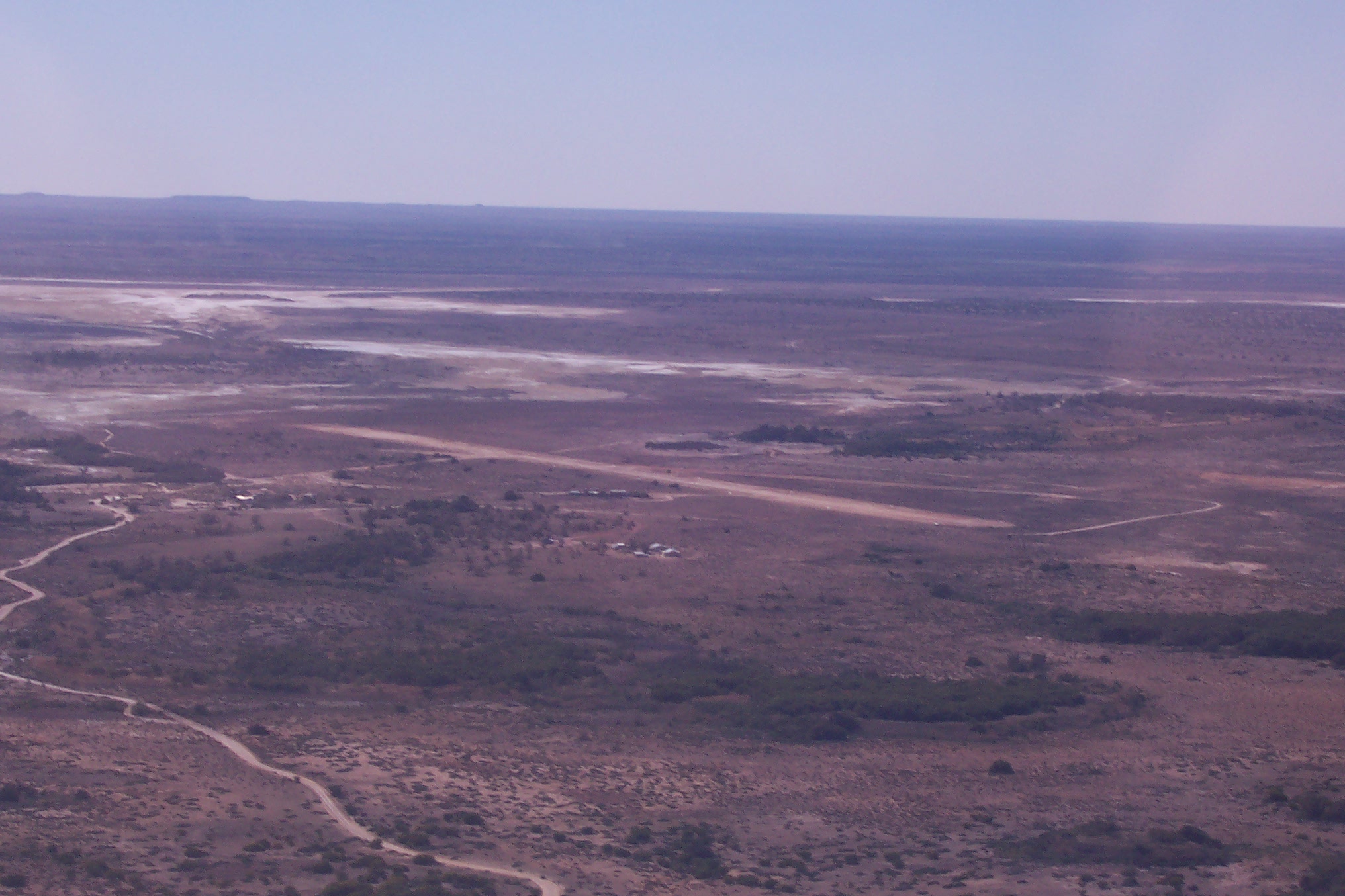
Park jointly with the Department for Environment and Heritage. Established in 1985 on land comprising the former Mount Dare pastoral lease, the Park covers 7,770 square kilometres of gibber, sand dunes, stony tablelands, floodplain country, flat-topped hills, numerous mound springs and breakaway country. (Photo right: Dalhousie Springs.)
 Dalhousie Springs (-26 27S 135 31E) is one of the best-known of the mound springs and the largest in Australia. There were a fair number of campers in the area, most settled in for a day or so by the appearance of their tent or campervan sites. There is a new ablution and toilet block, rather elaborate for such a remote area. Well done. (Photo left: Mt Dare pub.)
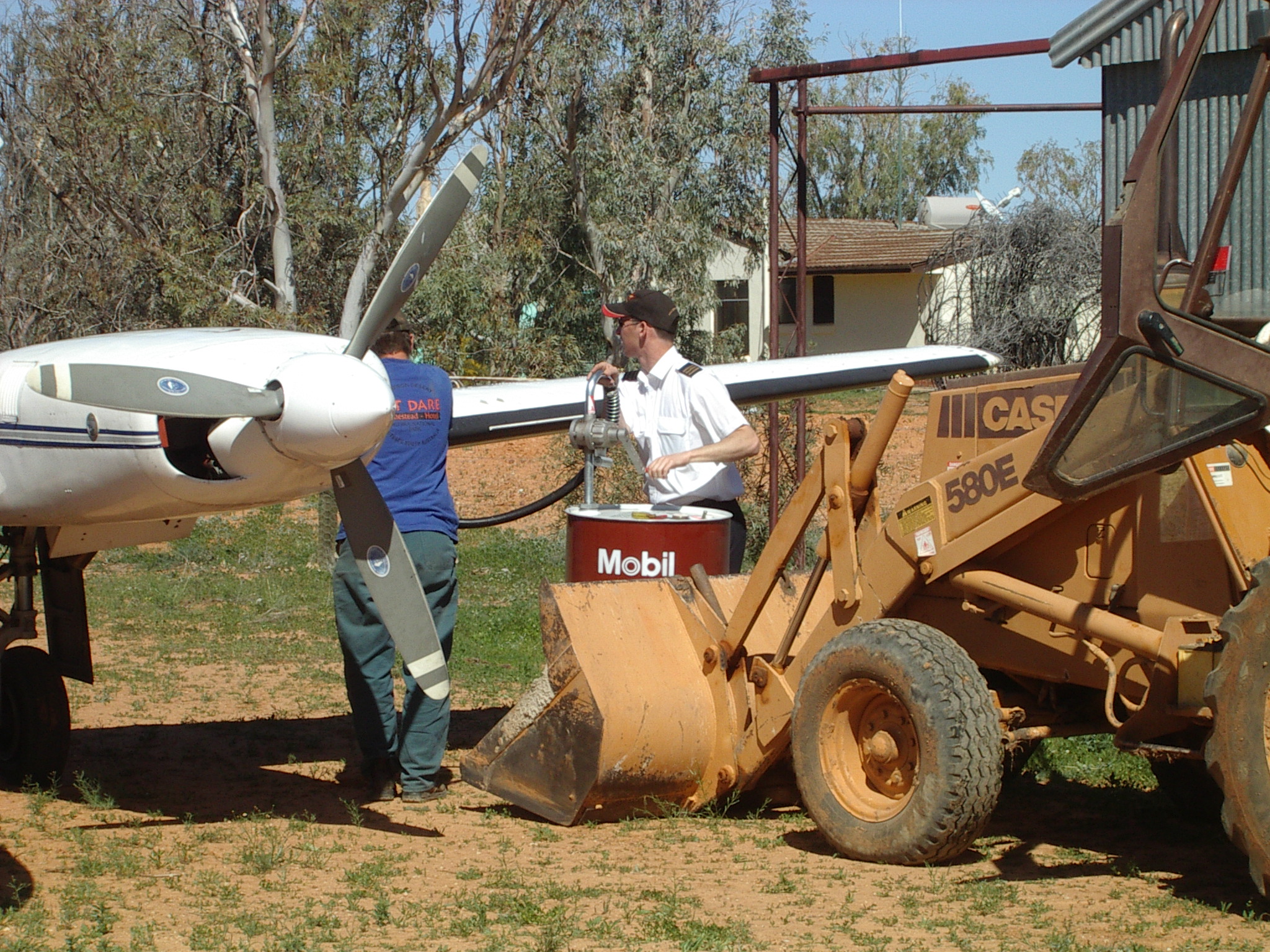 After we departed from Dalhousie Springs, we had a ten minute hop to Mt Dare where we refueled. There are a few scattered houses at Mt Dare homestead, plus a small pub. The fuel drum came out on a small front end loader. The pump is manual, with a rotating handle. (Photo right: Refueling at Mt Dare.)
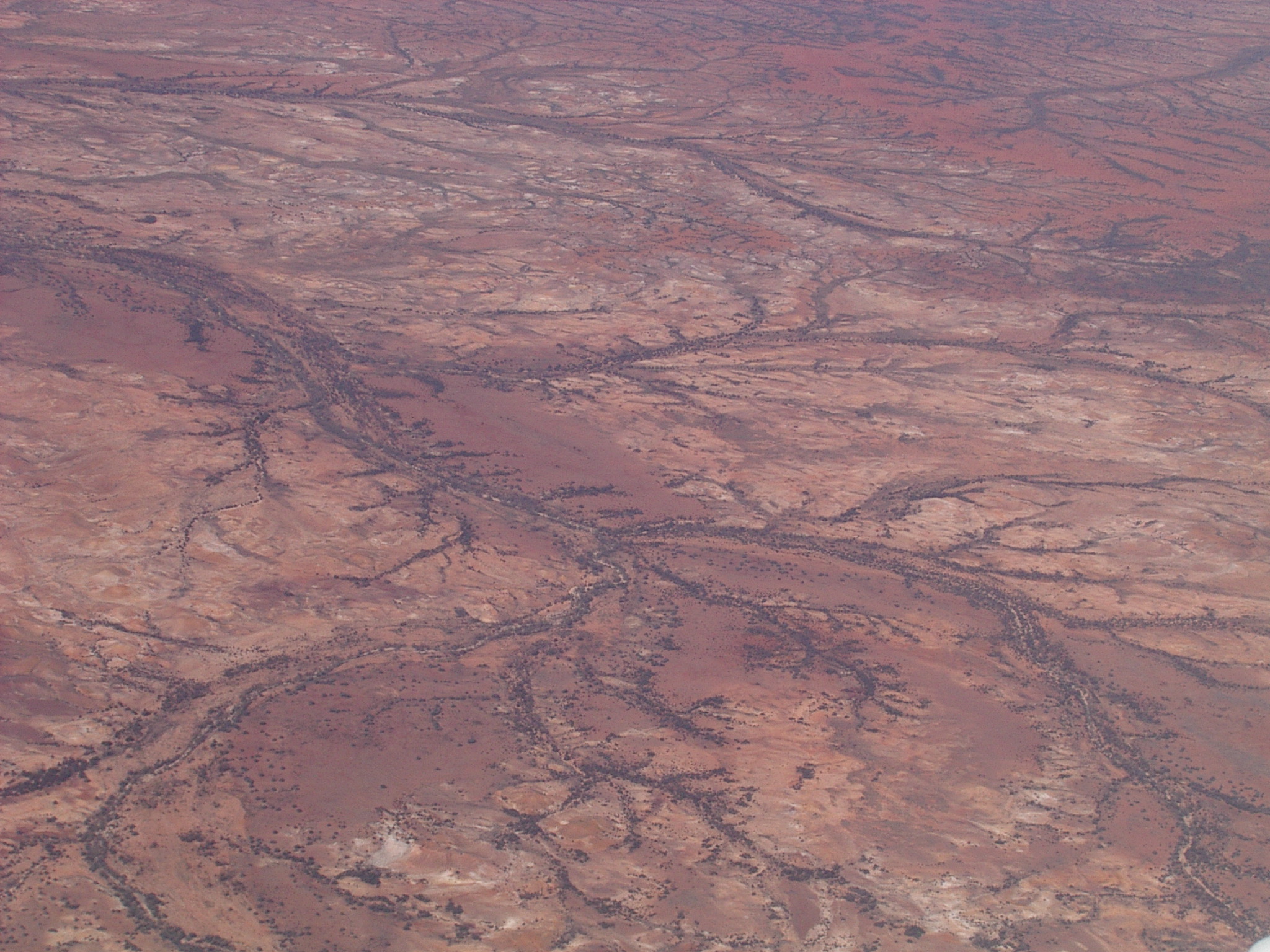 On the flight to Uluru (aka Ayers Rock), we had good views of the main road on the way and various mesa-type formations. (Photo left: Central Desert Southeast of Uluru.)
We landed near Yulara village, 20 km from Uluru. There we boarded a bus for an excellent tour and talk, given by a guide who grew up in Arnhem Land. He showed us some rock art and permanent waterholes around the rock. We circled the rock by road, seeing it from all angles.
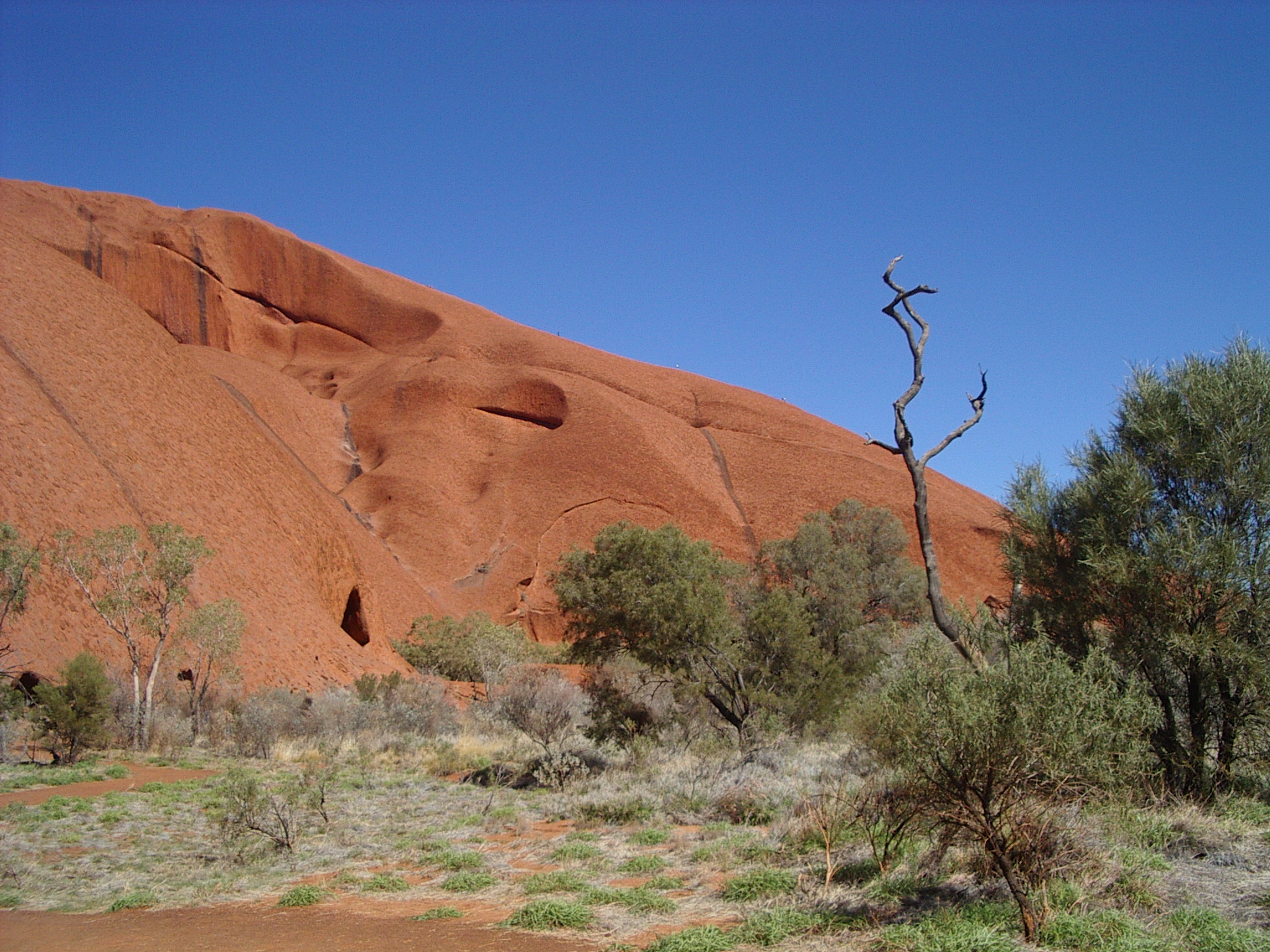 Aborigines call the tourists that climb their sacred monolith Minga, which means annoying little ants. It is very apt when you see tourists climbing the rock against the advice and wishes of the locals. (Photo right: Uluru (Ayers Rock).)
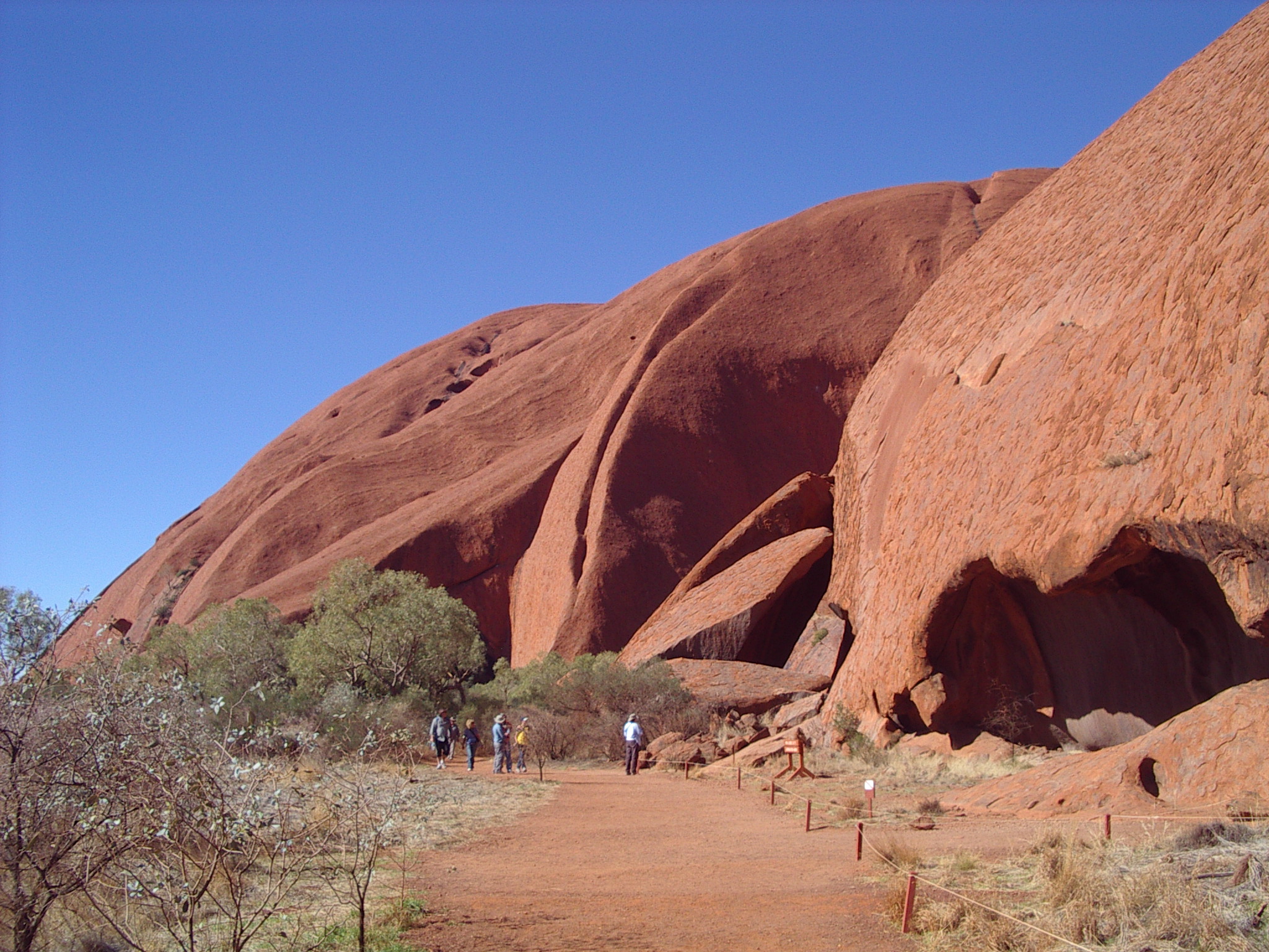 After takeoff at 4:30 we flew around Kata Tjuta (the Olgas) and Uluru, getting excellent late afternoon views of them. (Photo left: Uluru (Ayers Rock).)
Scenic flight 480 kilometres northeast across the Amadeus Basin desert, and over the Western MacDonnell ranges to Alice Springs (-23 48S 133 54E). Dinner and overnight at the Novotel, in Alice Springs.
Thursday 11 August 2005 – Alice Springs to Fitzroy Crossing
Alice Springs (S23 48.4 E133 54.1) -> Yuendumu (S22 15.2 E131 46.9) -> Balgo Hill (S20 08.90 E127 58.43) -> Fitzroy Crossing (S18 10.9 E125 33.5)
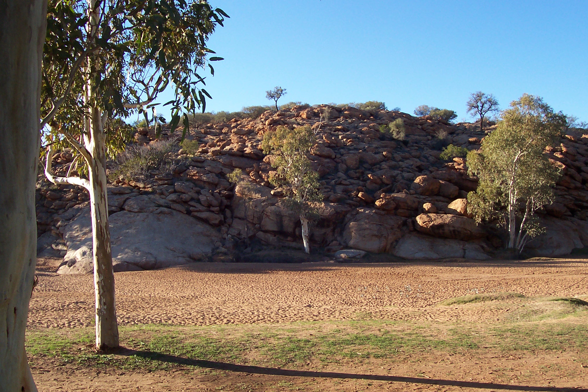
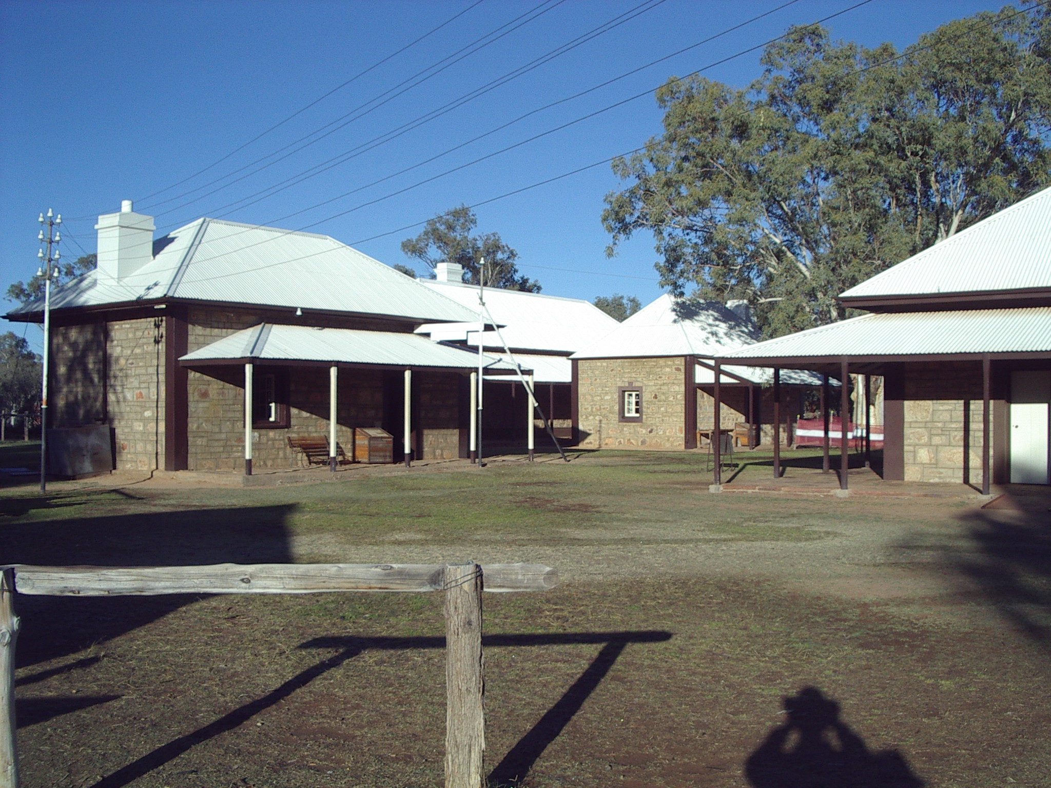 After breakfast we had a brief tour of Alice Springs town area by bus. We saw the original Alice Spring, which naturally was a dry creek bed. We inspected the old Post and Telegraph station, with its blacksmith shop. (Photo left: Alice Spring at Old Telegraph Station.)
Next was a vehicle tour of Standlee Gorge in the Western MacDonnell Ranges. This was the rugged and dry country I associate with the interior. The gorge was a fairly easy walk. We saw some wallabies hanging around the parking area. (Photo right: Old Alice Springs Telegraph Station.)
Back in Alice Springs, we saw some buildings had murals, including one of the famous Ghan train, and the Afghan camel drivers from whom it got its name. The Ghan itself was passing, so our driver ensured we had a chance to see it go through.
Next we visited the Royal Flying Doctor Service of Australia to view a film and tour their facilities. They cover a 600km radius for health care, and seem universally well regarded in country areas.
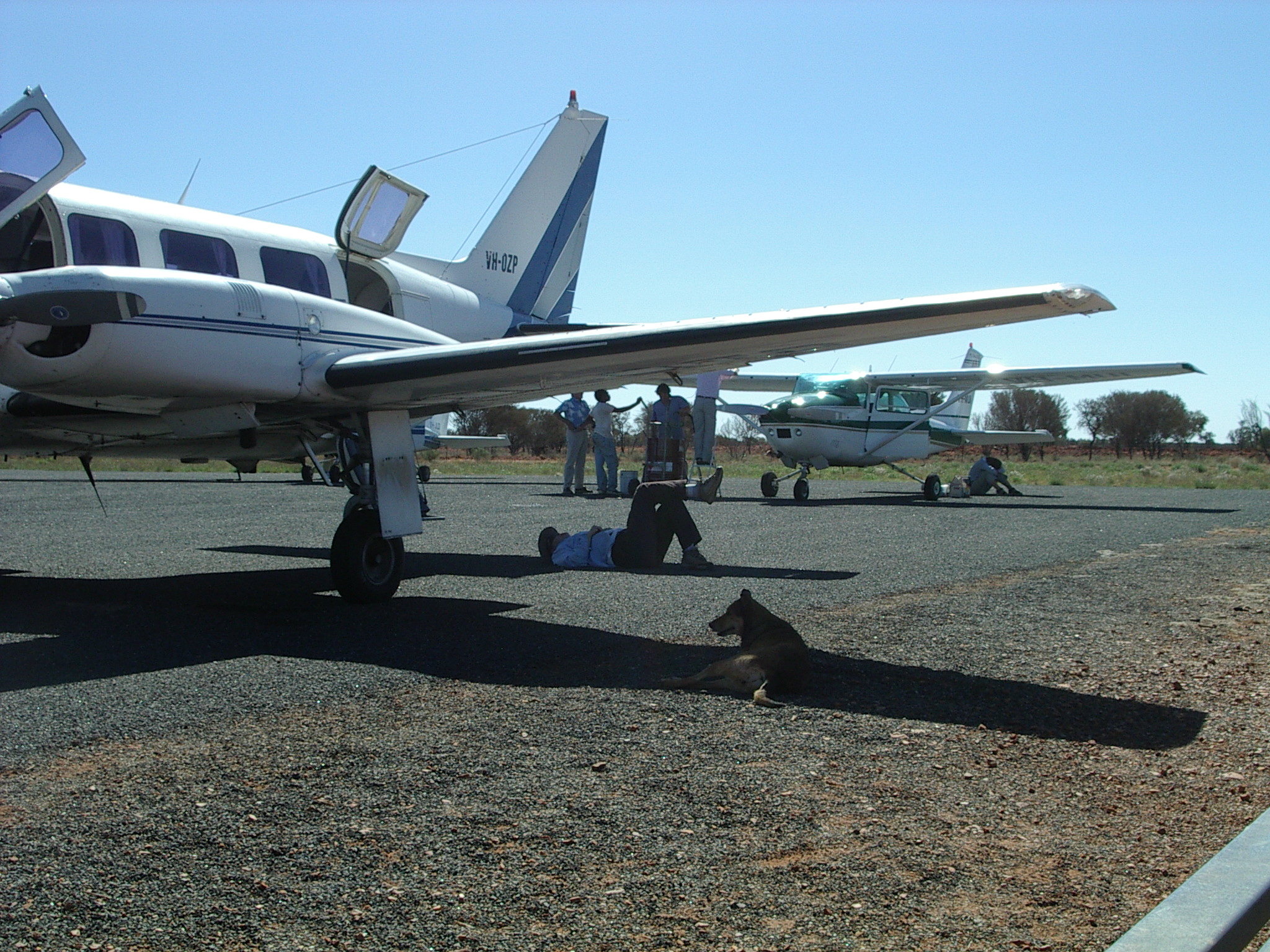
 We were back at the Alice Springs airport slightly after midday to continue our flight. The next leg was rather bumpy, and Jean felt distinctly unwell when we landed at Yuendumu (S22 15.2 E131 46.9), a remote settlement where the others visited the art community in the town, while Jean collapsed in the shade of a wing of the plane. (Photo left: Jean resting in shade of aircraft wing.)
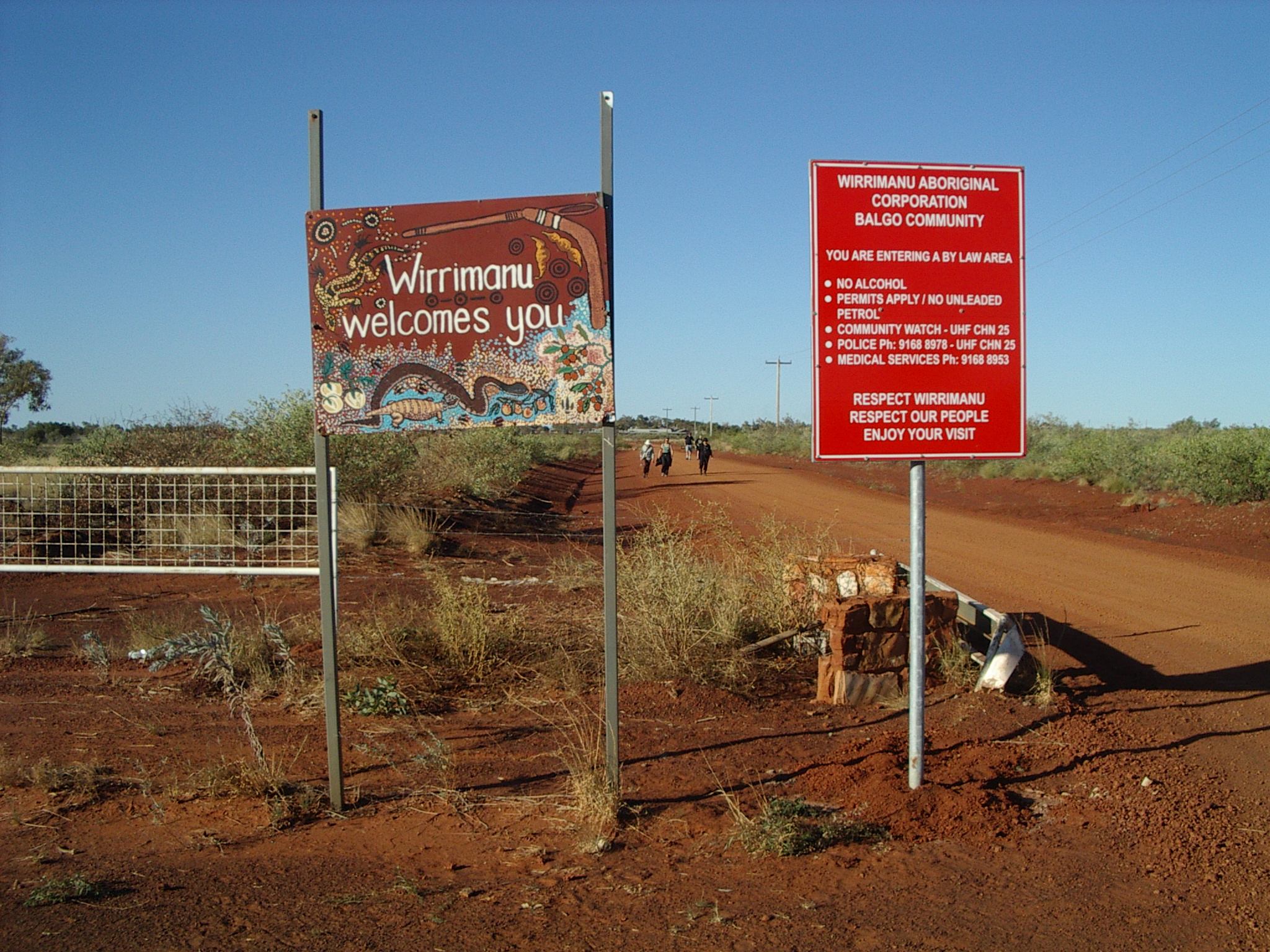
The community was only a short walk along the dusty orange dirt beside the road. Although the artists were away for an important award ceremony, the group were able to check the many paintings on display. We were somewhat late in getting away from Yuendumu, by which time a couple of other light planes had landed, including the mail plane. As with most areas, facilities were exceedingly limited. (Photo right: Entrance to Wirrimanu aboriginal community.)
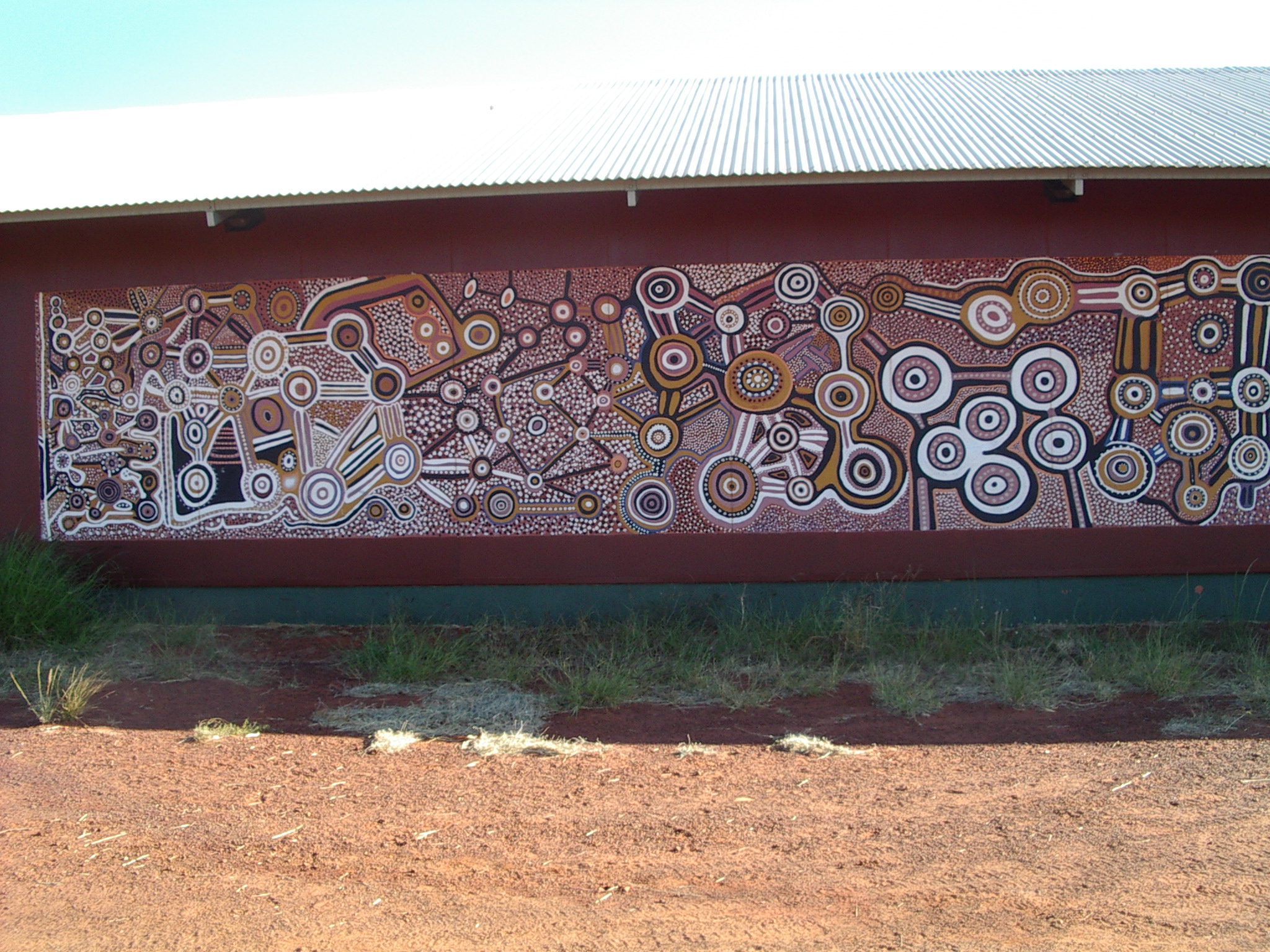
 We then flew to Balgo (-20 08S 127 59E), a community of the Wirrimanu aboriginal corporation of Kukatja and Jaru people in the Tanami desert, at the transition to the Great Sandy Desert. There are many Aboriginal artists hailing from this area. Alas, this was to be a fuel stop only, as the Warlayirti Artists art centre was closed with the artists all off for an award ceremony. However we did walk through the red dust into the town and view the extensive paintings and murals on the outside walls. (Photos left and right: Murals at Warlayirti Art Centre, Balgo.)
Flew on to Fitzroy Crossing in Western Australia. The booked vehicle didn’t meet us at the airport as the sun set, and it took two phone calls (on Jean’s mobile phone, since the airport didn’t have a phone) before someone drove out to collect us.
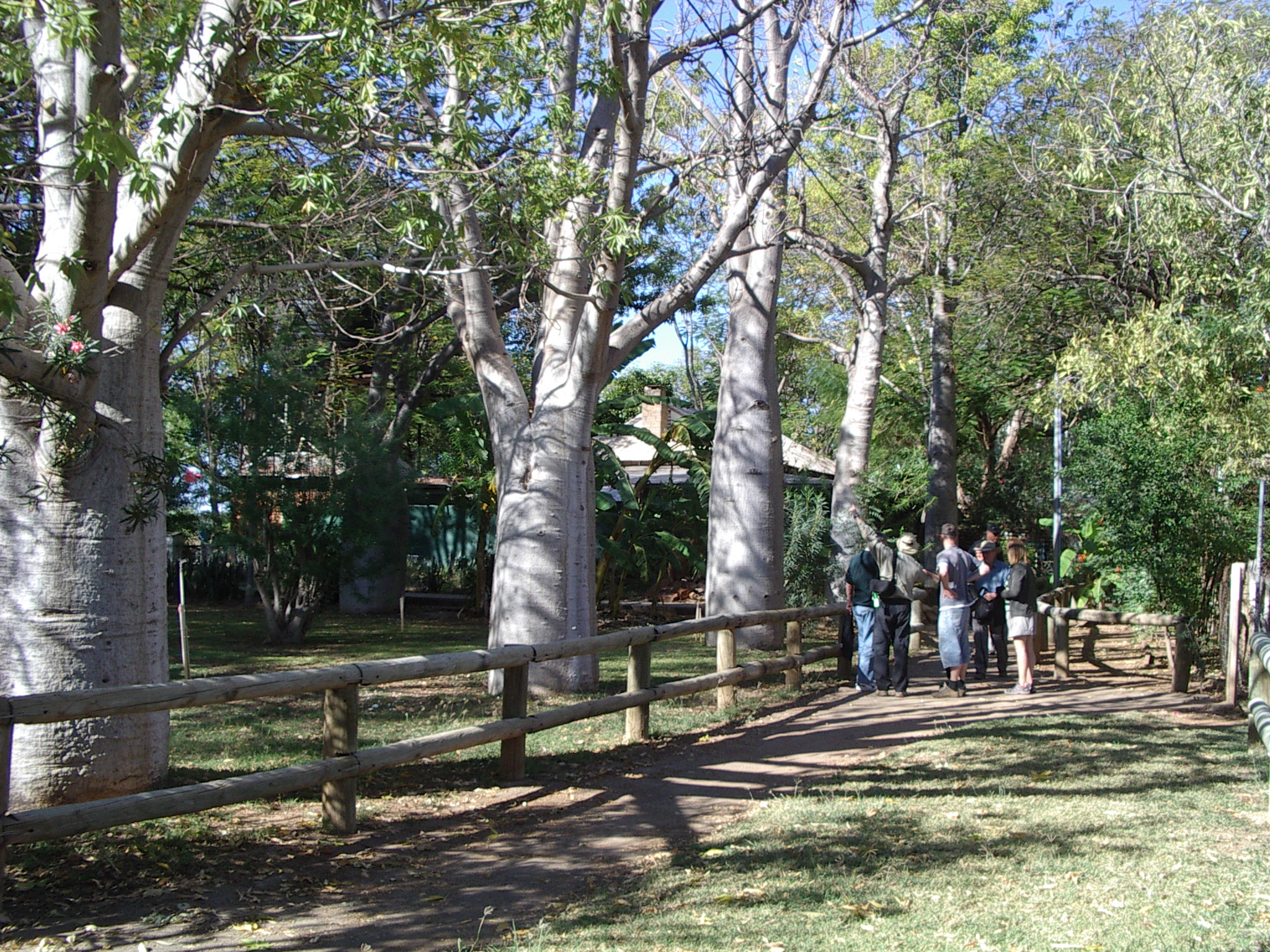 The old Crossing Inn (Ph. 08 9191 5080) is the town’s most famous building. It was originally built by Joseph Blythe in the 1890s as a store and pub for passing stockmen, prospectors and bullock team drivers. Jean remembers spending an afternoon there on a bus tour of the area in 1979. (Photo left: Boab trees in motel section of Crossing Inn.)
Fitzroy Crossing is situated on the sealed Great Northern Highway 391 kilometres east of Broome, and 641 kilometres west of Kununurra. We had stayed in the town in 2004, but at a different motel.
The bar area looked a little rough, but seemed otherwise calm enough. The Crossing Inn had a chef, and some new restaurant staff. They put on a splendid meal for such a remote area.
Page last updated 26 December 2005